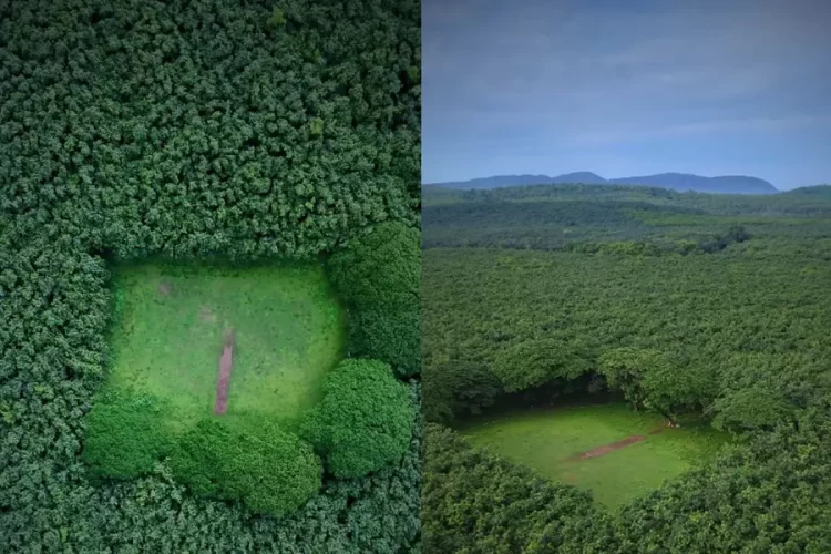
Idaho’s natural environment is famous for many things, including breathtaking beauty and fascinating wildlife, but perfect geometry isn’t among them. That’s why this photo of a forest area along Priest River taken from the International Space Station has been getting a lot of attention online.
In January of 2017, astronauts aboard the International Space Station shared a picture of what resembled a near-perfect chessboard pattern located in an area around Whitetail Butte in northern Idaho’s Bonner County. Apparently, the squares in this landscape are the result of a forest management technique dating back to the 1800s, where alternate one-square-mile parcels of land were granted to the US Government to the US Railroad and various other companies. This method ensured the sustainability of forest areas while also enabling logging operations.
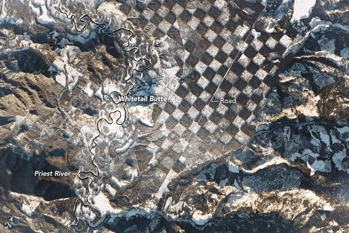
Photo © NASA
According to the NASA Earth Observatory, the white squares reflect areas with younger, smaller trees covered up by snow, while the brown squares are parcels of thick, intact forest.
The checkered pattern is bordered to the left by the Priest River, which flows through the Selkirk Mountains in northern Idaho. It was once mainly used to transport wood from the various logging sites along its banks, but in 1968 it was classified as a “wild and scenic river” and now has protected status.
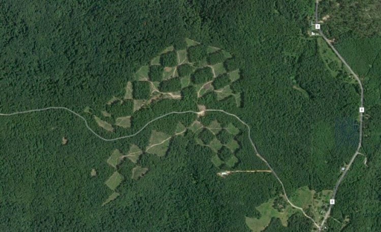
Photo: Google Earth
“The checkerboard — which has since evolved to the one-quarter-mile [0.4 km] squares shown here — is now seen as a method of maintaining the sustainability of forested tracts while still enabling logging companies to harvest trees,” NASA officials at the agency’s Earth Observatory wrote.
Chessboard logging is actually quite popular around the world, as you can see by these Google Earth images we found, but what makes the Whitetail Butte chessboard so special is the perfect alignment of the squares and how perfectly square they are. The guys who carried out this particular deforestation project really knew their stuff.
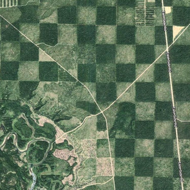
Photo: Google Earth

